Featured News & Events
Upcoming Announcement:
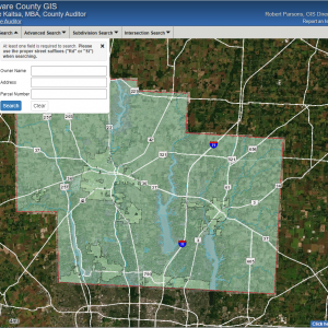
Please note that the Auditors GIS Website will be replaced this month. During this transition we will maintain both. Please be patient during this time.
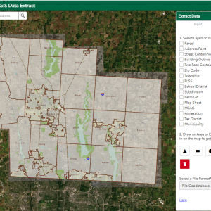
Also, we are currently upgrading our Geometry (Parcel Shapes) data base, therefore parcels in the new website will not contain changes made since September. We will be systematically updating our new database until the time that we can shutdown the current website in favor of the new GIS Website for Delaware County.
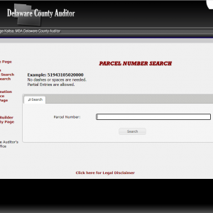
Hyperlinks on the GIS Links or the GIS Data Hub to access a test website to get the look and feel for how the new website will function.
December 2025 Significant Dates:
December 24th, 2025 – Delaware County Auditors Office and the GIS Office closes at 12P for Christmas Eve.
December 25th, 2025 – Delaware County Auditors Office and the GIS Office will be closed for Christmas.
January 1st, 2026 – Delaware County Auditors Office and the GIS Office will be closed for New Years Day 2026.
January 8th, 2026 – Tentatively the final day for Geometry updates for the month and the year by the GIS Department.
January 10th, 2026 – Geographic data updated on the Auditor’s GIS Website.
January 12th, 2026 – Geographic data available for download on FTP site and on GIS Data Hub.
January 13th, 2025 – Delaware County GIS Department monthly server and database maintenance.
Contact
145 N. Union St.
Delaware, Ohio 43015
Phone
(740) 833-2070
Email:
delco-gis@co.delaware.oh.us
Fax
(740) 833-2069
Hours
Monday-Friday
8:30 am to 4:30 pm